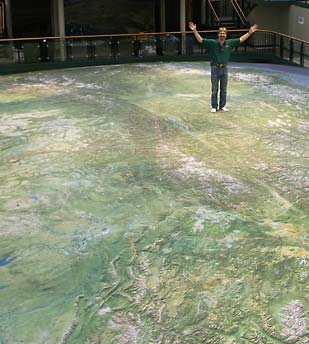
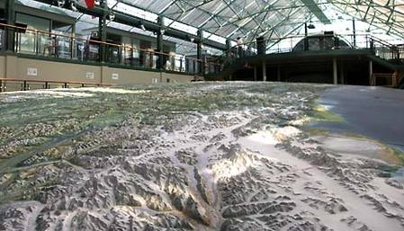
Terrain maps are accurate and detailed two-dimensional representation of human made and natural features on the surface of the Earth. These maps are used for various applications like hunting, fishing, camping and hiking to resource management, surveying and urban planning. The most unique feature of a terrain map is that three dimensional shape of the Earth’s surface is made by contour lines. Contours are unreal lines that connect locations of the same surface.
Terrain Maps
Terrain map usually use various symbols to describe both human made and natural features such as quarries, buildings, roads, vegetation, lakes and streams. Terrain maps used symbols that represent human constructed and natural features found in the nature or environment. The symbols are used to represent features in three common types such as polygons, lines and points. Points are used to show features like buildings and bridges. Lines are used to illustrate linear features.
Terrain map
Usually, some features include railways, rivers and roads. You may recognize that some maps are using different symbols to illustrate a feature. Nevertheless, you can find different types of maps on the internet. They can help you understand the Earth’s surface with a more realistic appearance that can help you identify the details easily.
Terrain maps

 RSS Feed